The Paddy Line
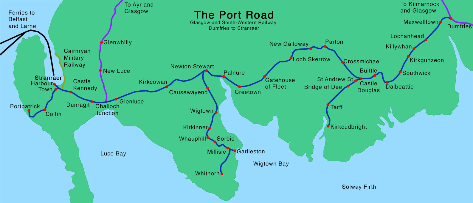
The "Paddy Line" or "Port Road" was the name given to the Glasgow and South-Western Railway line between Dumfries and Stranraer as it provided a link to the port of Stranraer where ferries ran to Northern Ireland.
The 7th November 1859 saw the opening of a single track between Dumfries and Castle Douglas by the Glasgow and South Western Railway, with a station in Dalbeattie. By 1861 the line had been extended to the port of Stranraer.
Significant Dates in the life of the Paddy Line;
- 7th November 1859 Single track railway between Dumfries and Castle Doulas opened.
- 12th March 1861 Castle Douglas to Stranraer section opened to the public.
- 28th August 1862 Portpatrick to Stranraer opened.
- 17th February 1864 Branch line from Castle Douglas to Kirkcudbright opened for goods traffic.
- 15th August 1864 Passengers services start to Kirkcudbright.
- 3rd March 1875 Branch line from Newton Stewart to Wigtown opened for goods traffic.
- 7th April 1875 Passenger services to Wigtown begin.
- 9th July 1877 Extension from Wigtown to Whithorn opened.
- 14th June 1965 Closing of the line.

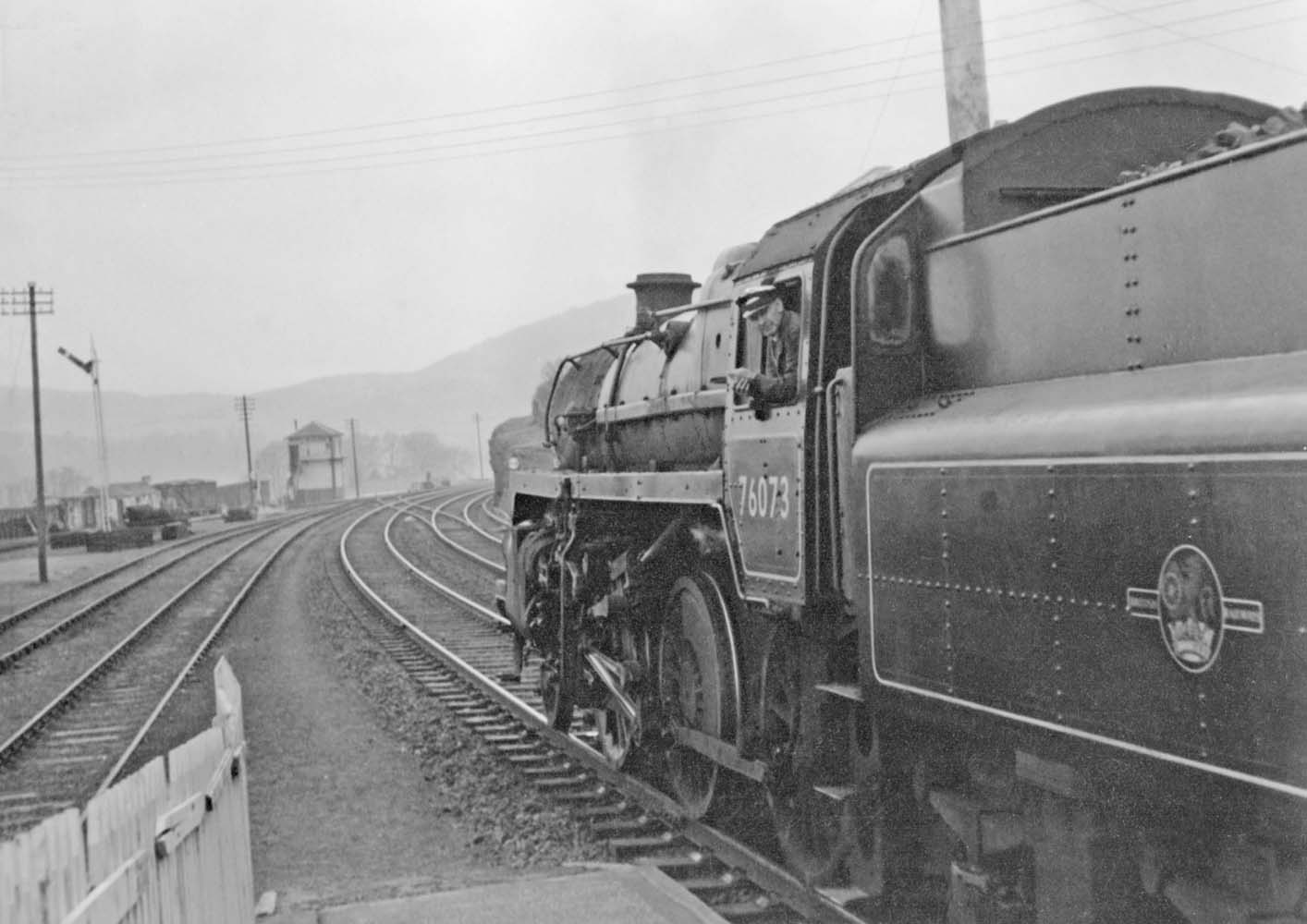
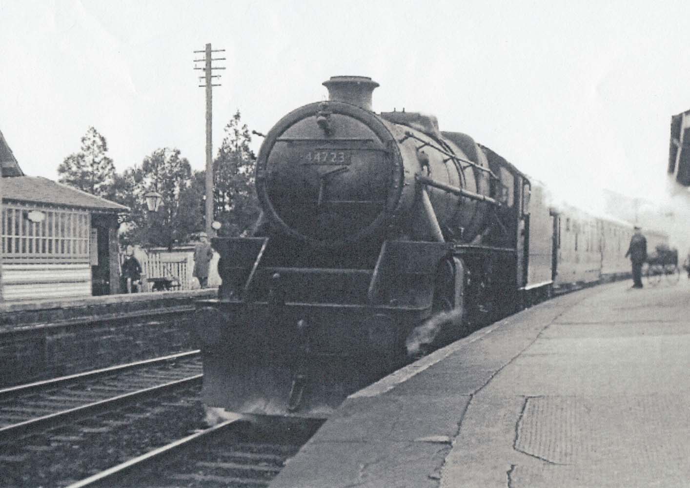
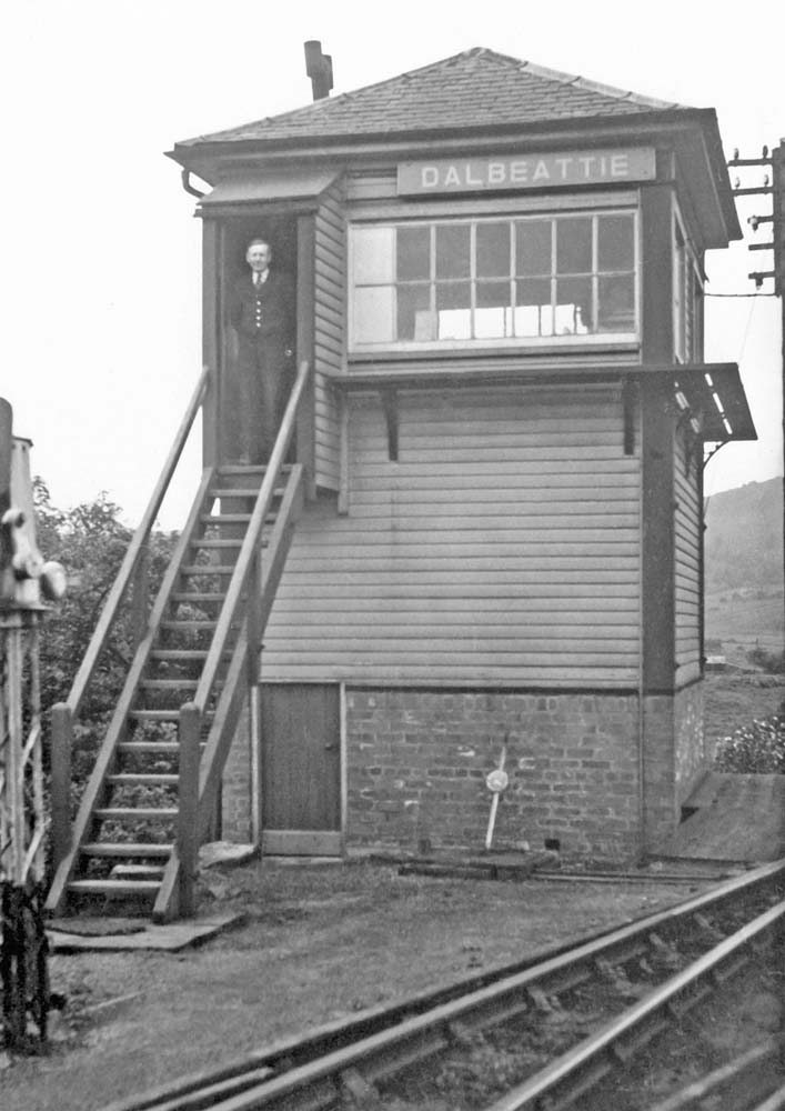
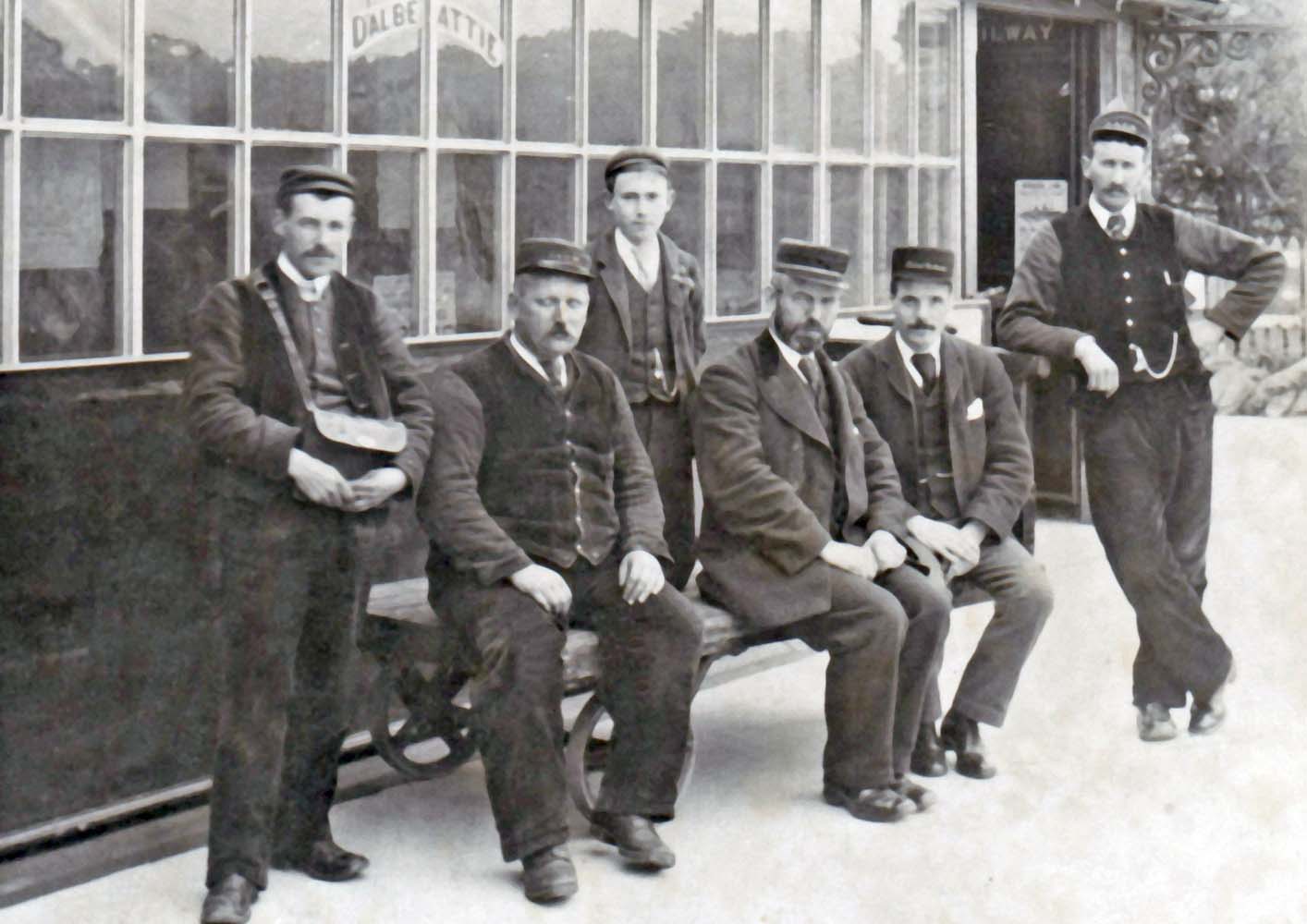
Dalbeattie station was located to the north of the town. Initially consisted of a single platform with a stone station building. It was expanded to a double track operation in 1888/89, along with a new east bound platform, timber waiting room and bridge connecting the two platforms. To the west of the station was the signal box. The nameplate from the signal box can be seen in the museum.
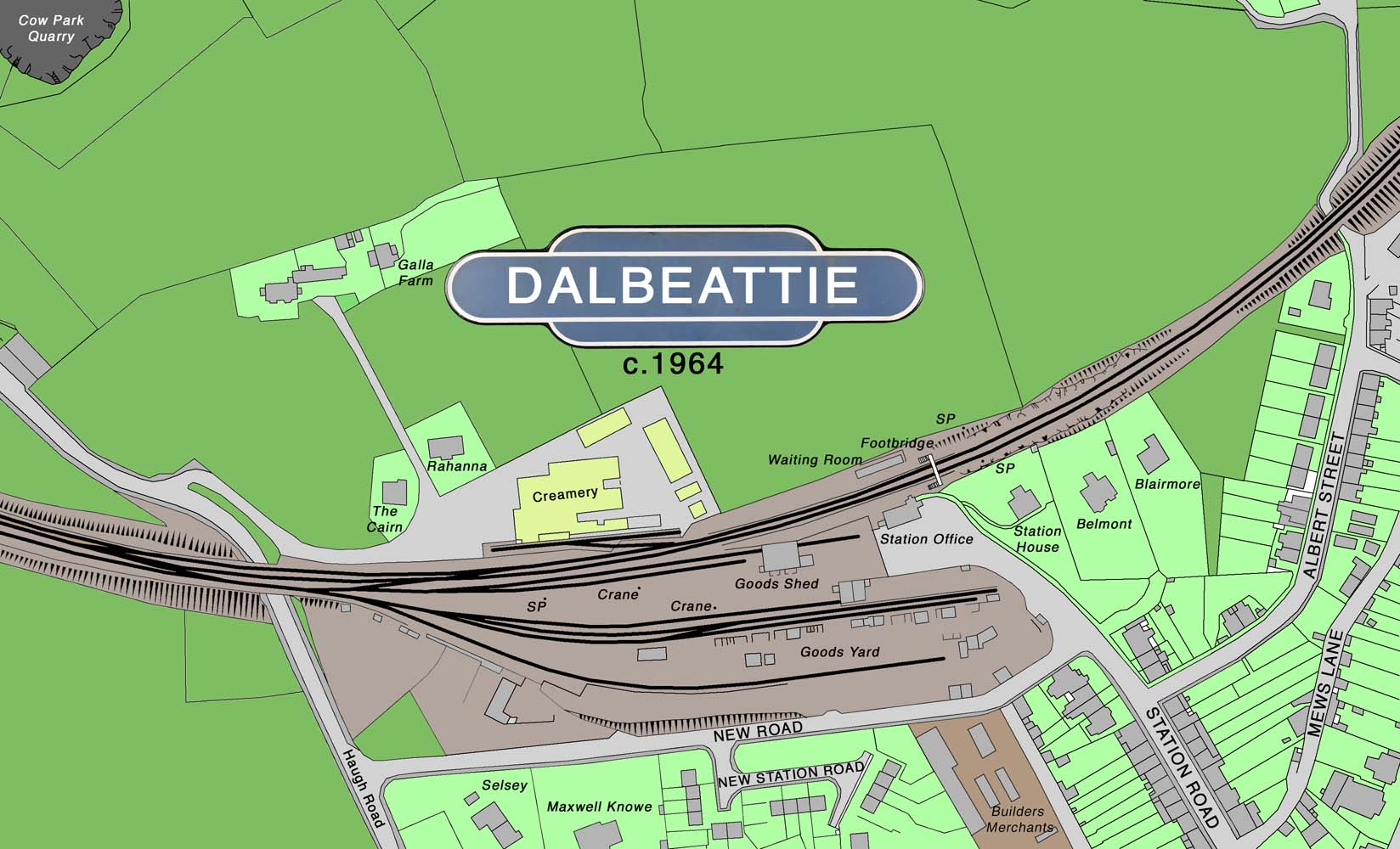

A large goods yard at the west end was situated on the town side of the station with a stone built goods shed. The local creamery on the north side of the station was served by a siding.
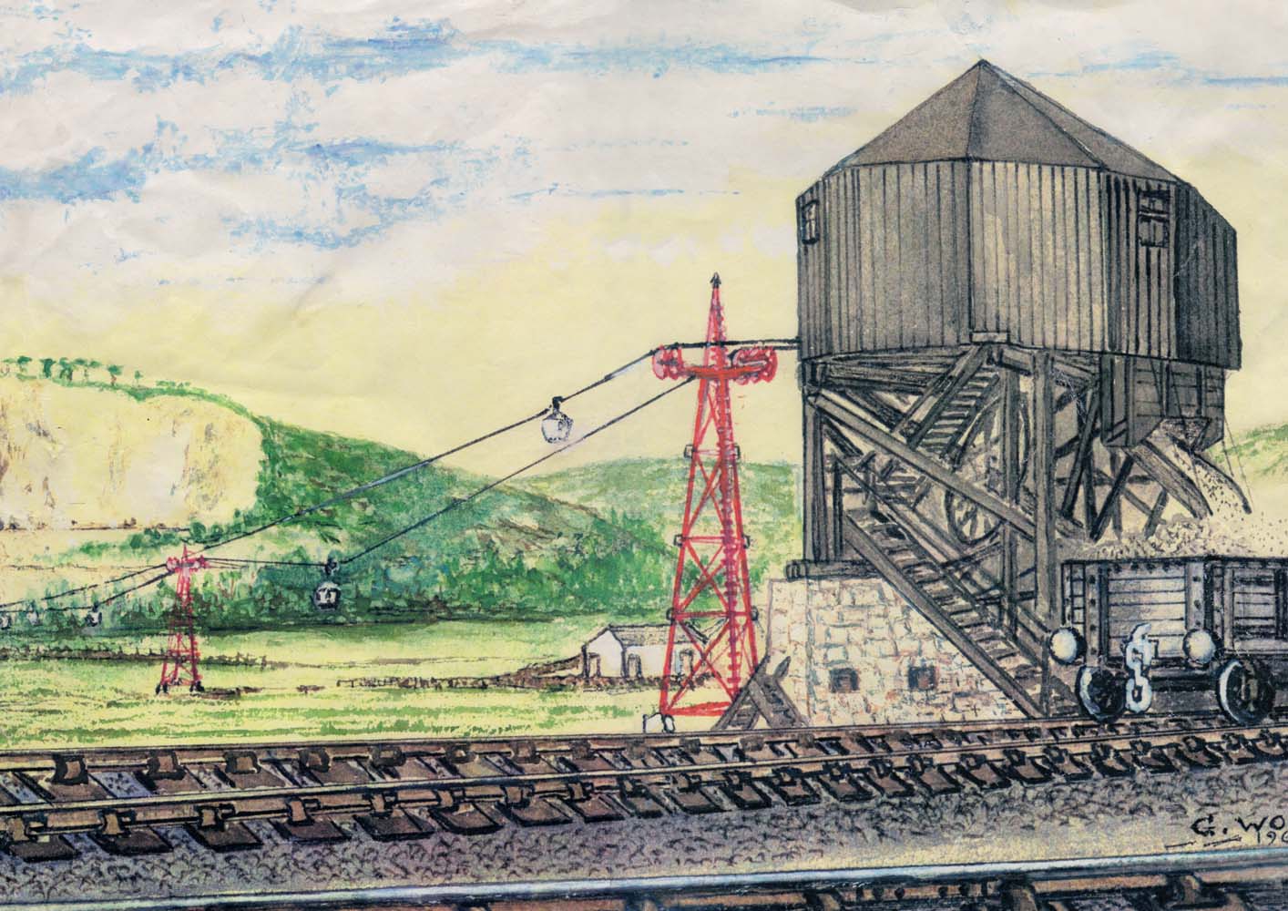
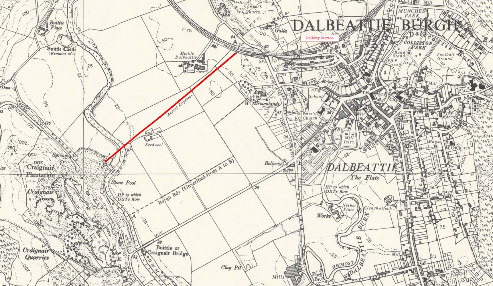
An aerial ropeway served the nearby Craignair Quarries between 1902 and 1961. Twenty two 6cwt buckets of crushed granite were carried the 870 yards across the Urr valley to the station. The ropeway was suspended from six tower-like steel trestles, each being between 30 and 50 foot high with two large pulleys on either side. Two hundred tons of granite was carried daily from the quarry to railway wagons without being touched by hand. In the crusher building a six horse-power vertical engine drove the ropeway. Railway wagons are run alongside the station terminal and filled direct from the buckets. The wagons then pass over a weighing-machine specially constructed for the purpose. The ropeway is the first of the kind erected in Scotland.
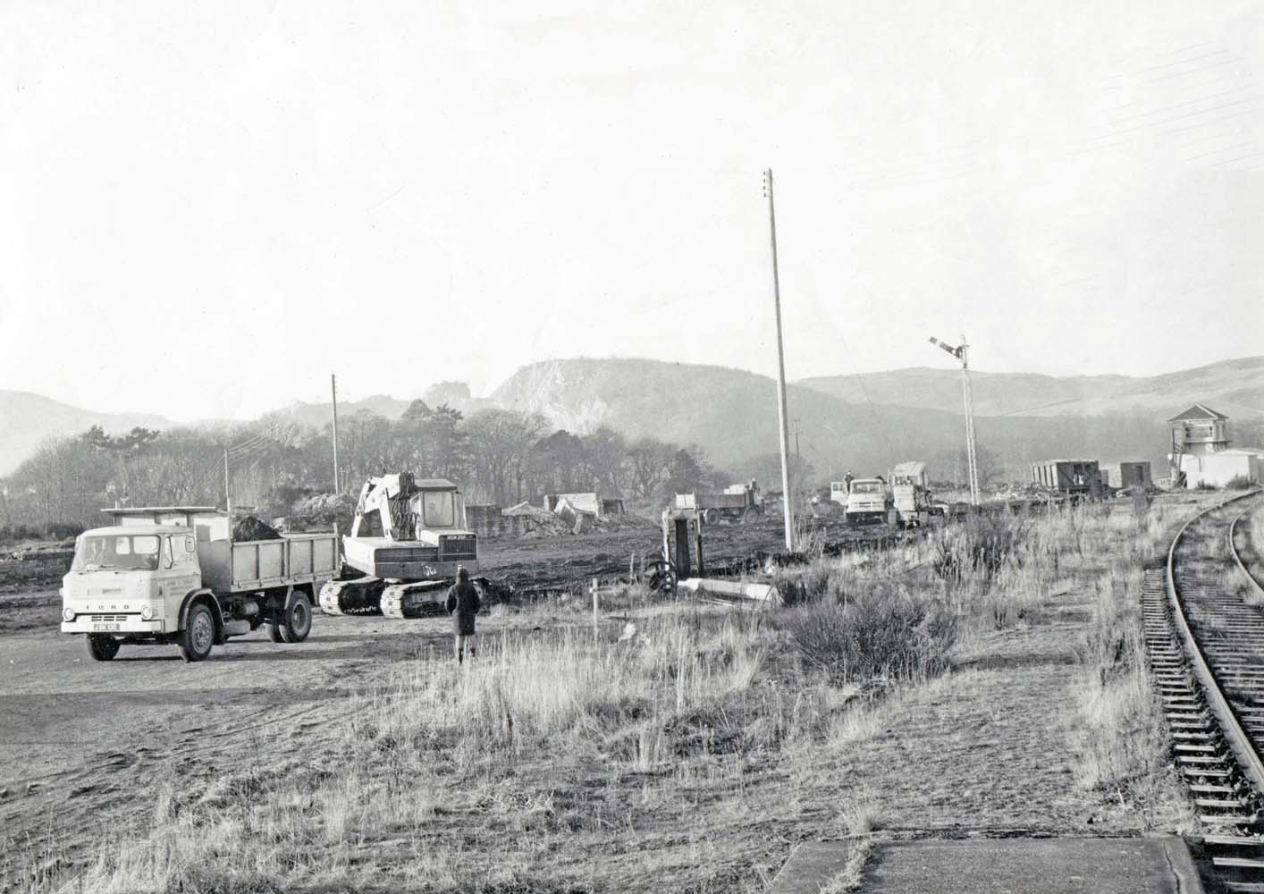
Dalbeattie station along with the Paddy Line were victims of the Beeching cuts in the 1960s with the the line closing on Monday 14th June 1965.
After the closure the station's pedestrian bridge, which had provided access between the platforms, was relocated to provide a pedestrian link between Church Crescent and Urr Road, crossing the Barr Burn.
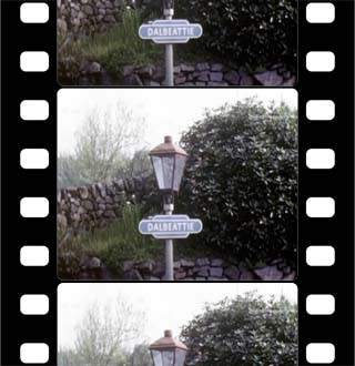
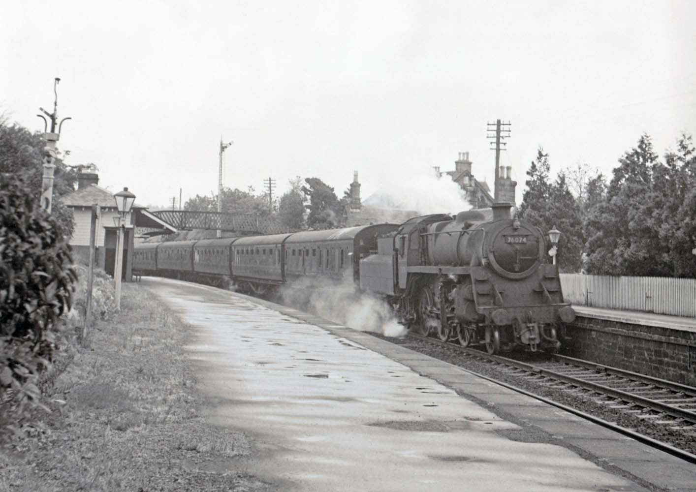
A film of the last days of the line can be found on the National Library of Scotland website.
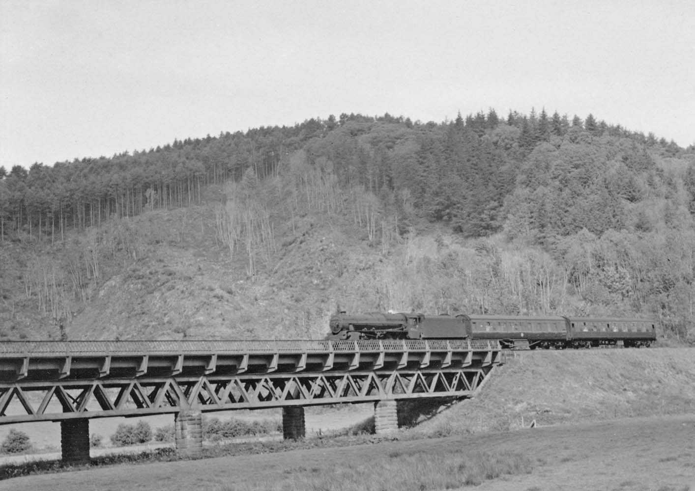
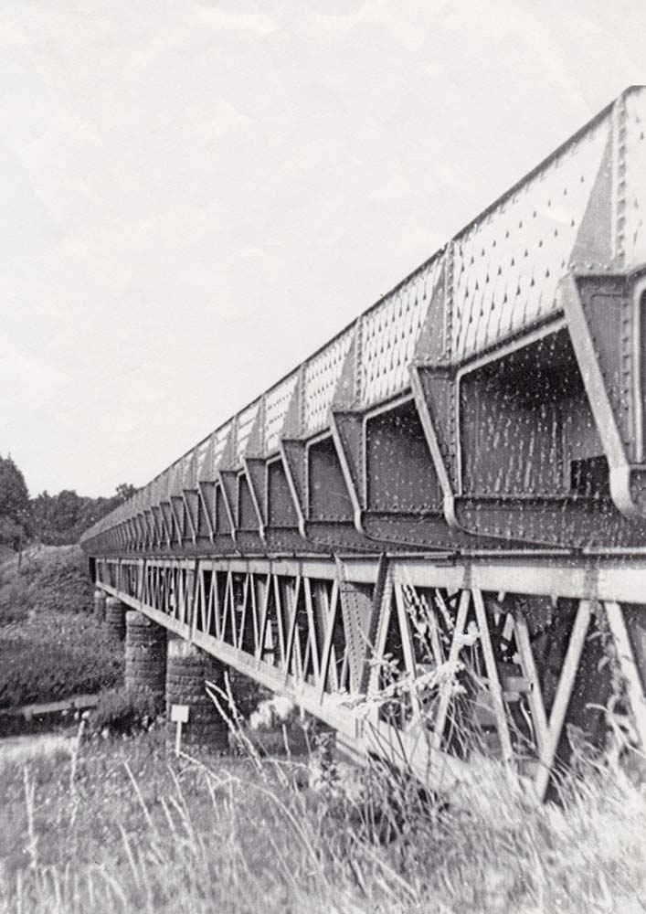
It shows a complete journey from Dumfries to Stranraer with Dalbeattie Station and the viaduct over the River Urr appearing between 03:21 and 03:50.
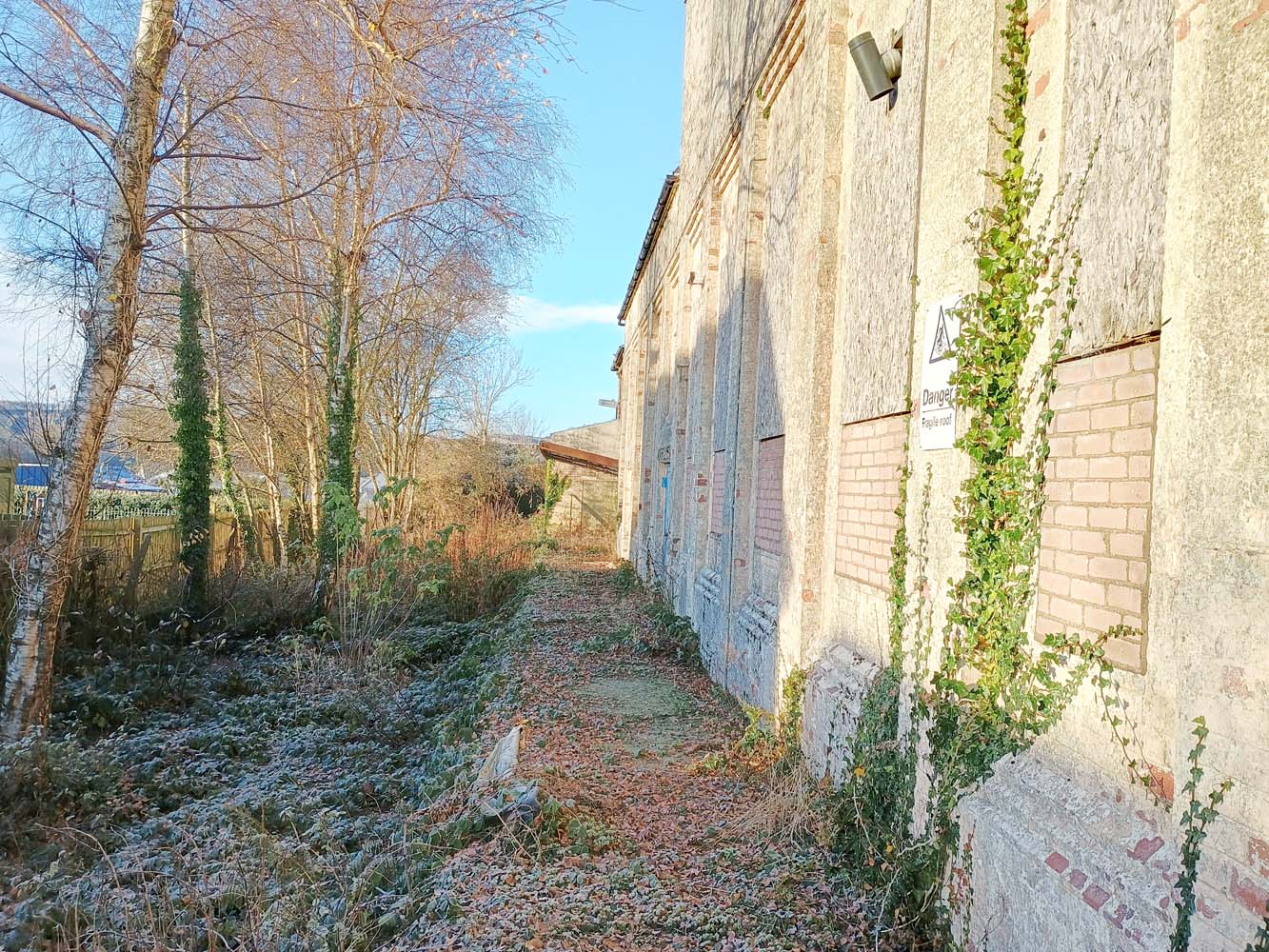
The only parts of the station that can be seen today are the Station House which can be seen through the trees above what was the goods yard and is now new housing and the rather overgrown siding at the creamery.

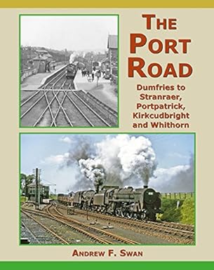
If you interested in finding out more about the "Port Road" we recommend the following book,
"The Port Road: Dumfries to Stranraer, Portpatrick, Kirkcudbright and Whithorn" by Andrew F. Swan
which can be purchased from local booksellers or Amazon.